
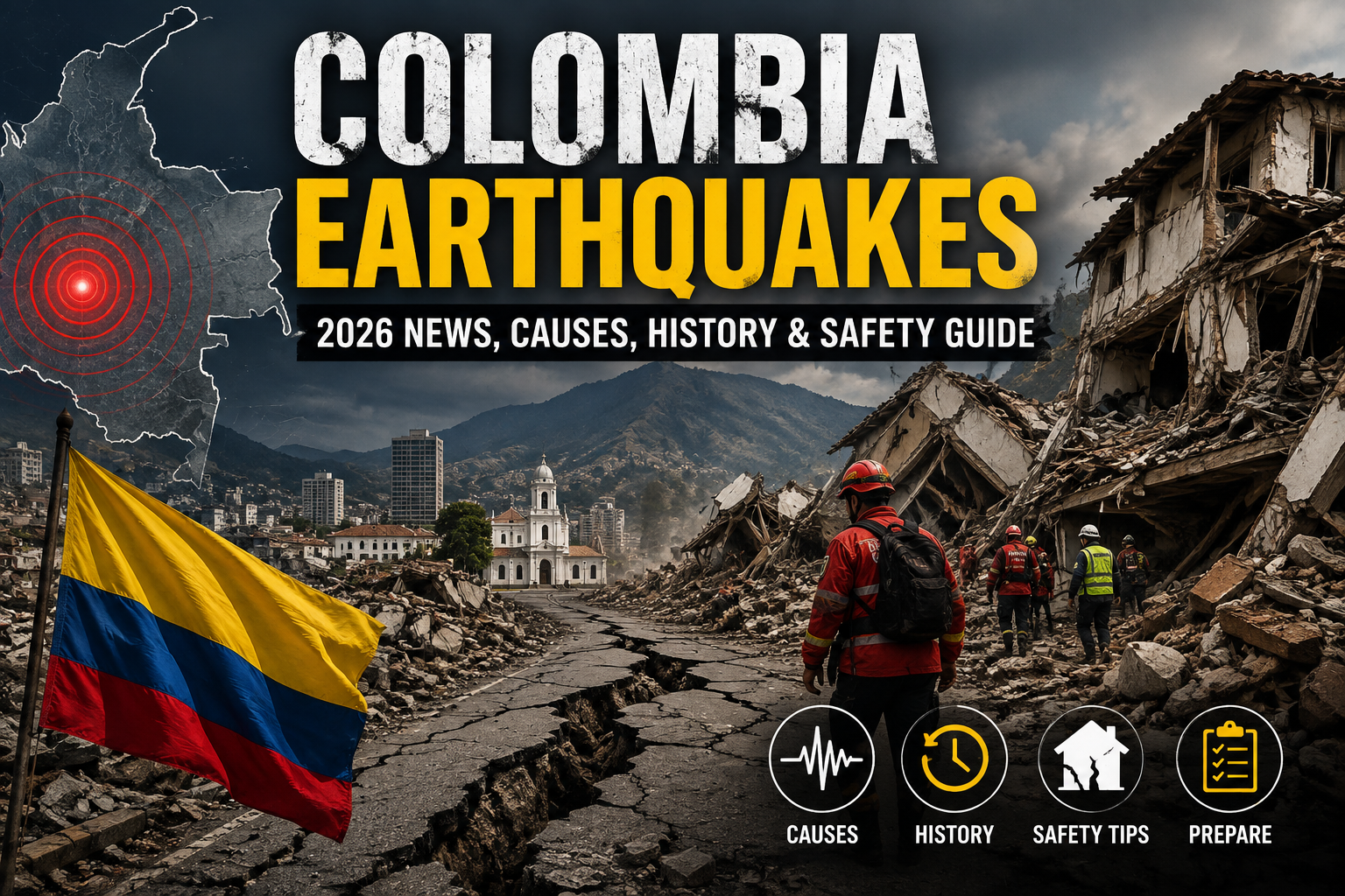
On the morning of Monday, August 10, 2026, the ground violently shook across western South America, once again highlighting the devastating power of Colombia earthquakes. Striking with a massive magnitude of 7.4, the tremor caused widespread destruction, flattened buildings, and left a tragic toll on human life.
For residents and travelers in this vibrant country, seismic activity is a known reality. However, when an event of this magnitude occurs, it prompts urgent questions about safety, infrastructure, and geological vulnerability. Why does Colombia experience such intense tremors? How does this recent disaster compare to the historical tragedies of the past? And most importantly, what actionable steps can you take to protect yourself and your family when the earth begins to shake?
In this comprehensive guide, we will analyze the tragic events of August 2026, break down the complex geological factors that make Colombia a seismic hotspot, review the country’s earthquake history, and provide expert safety practices. Whether you are seeking the latest news or long-term preparedness strategies, this article covers everything you need to know.
The August 10, 2026 Earthquake: What Happened?
Colombia earthquakes of extreme magnitude are relatively rare, making the events of August 10, 2026, particularly shocking. Authorities and emergency response teams are currently working around the clock to rescue survivors and stabilize affected communities.
Magnitude and Epicenter Details
At exactly 7:34 AM local time, a magnitude 7.4 earthquake struck the western region of Colombia. According to the Colombian Geological Service and the US Geological Survey (USGS), the epicenter was located near San José del Palmar in the rural Chocó region, approximately 250 miles west of the capital city, Bogotá.
The quake was remarkably powerful. Its intense energy radiated across the country, with shockwaves reaching neighboring Ecuador and Venezuela. Less than an hour later, a severe 5.0 magnitude aftershock rattled the already panicked population, further complicating rescue efforts.
Impact on Major Cities
While the epicenter was in the rural Chocó region, the destruction was heavily felt in densely populated urban centers.
- Cali: As Colombia’s third most populous city, Cali experienced some of the most visible destruction. Entire residential blocks and older buildings were reduced to concrete rubble. Tragically, numerous casualties and hundreds of missing persons were reported here.
- Chocó Region: In the rural province closest to the epicenter, vital infrastructure was wiped out, cutting off communication and road access to several small communities.
- Bogotá and Pereira: The capital city of Bogotá underwent mass evacuations as high-rise buildings swayed violently. Pereira reported significant structural damage and forced curfews to prevent looting.
Government and International Response
Consequently, President Abelardo de la Espriella immediately declared a state of emergency to expedite disaster relief funding. Security forces, including over 1,000 military personnel, were deployed to Cali and surrounding areas to maintain order and assist in search-and-rescue operations.
The international community was quick to respond. Organizations like the United Nations, the Global Empowerment Mission (GEM), and CARE Colombia mobilized resources. Furthermore, leaders from the United States, the European Union, and neighboring Latin American nations pledged immediate humanitarian aid and satellite monitoring support to assist the shattered region.
Why Are Colombia Earthquakes So Frequent?
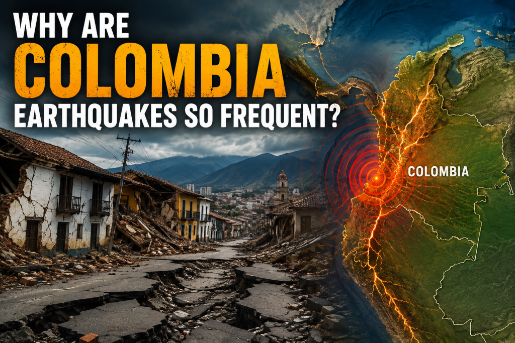
To understand the frequency and intensity of Colombia earthquakes, one must look deep beneath the earth’s surface. The country’s geographical placement makes it a natural focal point for immense geological pressure.
The Pacific Ring of Fire
Colombia sits on the edge of the Pacific Ring of Fire. This 40,000-kilometer horseshoe-shaped boundary lines the Pacific Ocean and is home to about 90% of the world’s earthquakes and 75% of its active volcanoes. Countries along this boundary are in constant geological flux.
Tectonic Plate Convergence
The primary driver behind Colombia earthquakes is the complex interaction of three major tectonic plates:
- The Nazca Plate: Located in the eastern Pacific Ocean basin, this heavy oceanic plate is continually pushing eastward.
- The South American Plate: This massive continental plate is being pushed westward.
- The Caribbean Plate: Pushing southward against the northern coast of Colombia.
Because the Nazca Plate is denser, it undergoes a process called “subduction,” where it dives beneath the lighter South American Plate. This subduction zone creates immense friction. Over decades, stress builds up along fault lines. When the rock can no longer withstand the pressure, it violently snaps, releasing seismic waves that manifest as earthquakes. Additionally, the North Andes microplate moves northeastward, creating right-lateral strike-slip faults that traverse directly beneath major Colombian cities.
Historical Timeline of Major Colombia Earthquakes
Sadly, the tragedy of 2026 is not an isolated incident. Historical data reveals a pattern of catastrophic Colombia earthquakes that have shaped the nation’s building codes and emergency response strategies.
The Devastating 1868 Ecuador-Colombia Quakes
One of the deadliest seismic events in Latin American history occurred in August 1868. A catastrophic magnitude 7.7 earthquake struck the border region between Ecuador and Colombia. Occurring in the early hours of the morning when most people were asleep, the disaster claimed an estimated 70,000 lives across the two nations, wiping out entire towns in mere seconds.
The 1999 Armenia Earthquake
On January 25, 1999, a magnitude 6.2 earthquake hit the coffee-growing region of Quindío. Though not the strongest quake in terms of magnitude, its shallow depth and proximity to the city of Armenia made it incredibly lethal. Over 1,000 people lost their lives, and approximately 60% of Armenia’s buildings collapsed. This tragedy served as a harsh wake-up call, prompting the Colombian government to drastically update national seismic building codes (NSR-98 and later NSR-10).
Recent Tremors (2023–2025)
Before the 2026 disaster, Colombia experienced frequent, moderate-to-high tremors:
- August 2023: A 6.1 magnitude earthquake hit central Colombia, specifically El Calvario, triggering landslides and evacuations in Bogotá.
- June 2025: A 6.3 magnitude quake near Paratebueno sent shockwaves through the Cundinamarca department, though structural damage was minimized due to improved infrastructure.
Comparison of Major Colombian Earthquakes
| Year | Region/Epicenter | Magnitude | Estimated Casualties | Key Impact |
| 1868 | Ecuador-Colombia Border | 7.7 | ~70,000 | Obliterated entire towns; struck at night. |
| 1906 | Offshore Ecuador-Colombia | 8.8 | 500 – 1,500 | Triggered a massive tsunami. |
| 1999 | Armenia (Coffee Axis) | 6.2 | 1,185 | Sparked major changes to building codes. |
| 2023 | El Calvario (Central) | 6.1 | 1 | Mass panic and evacuations in Bogotá. |
| 2026 | Chocó Region (Western) | 7.4 | 111+ | State of emergency; major destruction in Cali. |
Infrastructure and Economic Impacts
The aftermath of severe Colombia earthquakes extends far beyond the initial tremor. The economic and infrastructural toll can cripple regions for years.
- Structural Failures: Despite updated building codes (NSR-10) implemented after 1999, many older buildings and rural homes still rely on unreinforced masonry or adobe. During the 2026 quake, these structures were the first to crumble.
- Economic Disruption: Road networks, airports, and electrical grids frequently suffer heavy damage. The August 2026 event forced the closure of multiple airports and halted agricultural transport in the western provinces.
- Psychological Toll: The constant threat of aftershocks leaves citizens with prolonged anxiety. Displaced families often spend weeks in temporary shelters, fearing that their damaged homes will collapse.
Common Mistakes to Avoid During Tremors
When panic sets in, people often rely on outdated or dangerous advice. If you find yourself caught in a seismic event, avoid these crucial mistakes:
- Standing in a Doorway: This is an outdated myth. In modern homes, doorways are no stronger than any other part of the house, and they do not protect you from flying debris.
- Running Outside During Shaking: Most earthquake-related injuries occur when people try to run outdoors and are hit by falling glass, bricks, or exterior facades. Stay where you are until the shaking stops.
- Using Elevators: Never use an elevator during or immediately after a tremor, as power outages and structural shifts can trap you inside.
- Tying up Phone Lines: Avoid making non-emergency phone calls. Text messages require less network bandwidth and are more likely to go through when communication towers are overwhelmed.